
Looking Up Mountain View Neighbors
A block-level search uses several sources, each with a different answer. Property Explorer and City zoning show land context. The Assessor ties an individual situs to an APN and assessment facts. The Recorder supplies legal parties only through its own index mechanics. Permits show work or address events. Neighborhood groups show organized community geography, not household membership.
| Source | What it shows about a block | Access |
|---|---|---|
| County Property Explorer | Selected parcel and surrounding map layers | Free interactive map; exact buffer and owner tools unverified |
| City zoning map | Zoning districts, boundaries, and street context | Free address map; not a survey or people list |
| Assessor | Situs address, APN, value, transfer reference, exemptions | Free individual address or APN search |
| Clerk-Recorder | Deed parties and legal descriptions | Office research; no street or APN query |
| City permits and address files | Construction, use, or official address change | ePermits, counter, or focused CPRA request |
| Neighborhood groups and CERT | Public organization or preparedness geography | Public City inventory; no member roster |
The table makes “neighbor” precise. Nearby parcels are a map fact. A named owner is a deed fact. An occupant requires an occupant-oriented source and a dated match.
Map a Mountain View Neighbor Block
Begin with the subject address in County Property Explorer. Search or select the property, keep the detail side panel and map visible, and pan or zoom to each adjoining polygon. Record the neighboring address or APN one parcel at a time. The County’s April 10, 2026 launch made Property Explorer the primary property-research map after the earlier Interactive Property Assessment and Property Profile tools.
Do not promise a radius, buffer, export, owner link, or measurement control. The official launch material confirms property selection, a detail panel, an interactive map, and affecting layers, but not those additional controls. The City zoning map can identify a parcel and show zoning districts, but its display is not a survey or transaction-grade boundary.
The County Property Explorer notice is linked below. It is the strongest current map lead for Mountain View neighbors, but it does not create a public block roster.
The County’s current Property Explorer launch notice shows the selection and detail-panel workflow used for adjoining parcels.
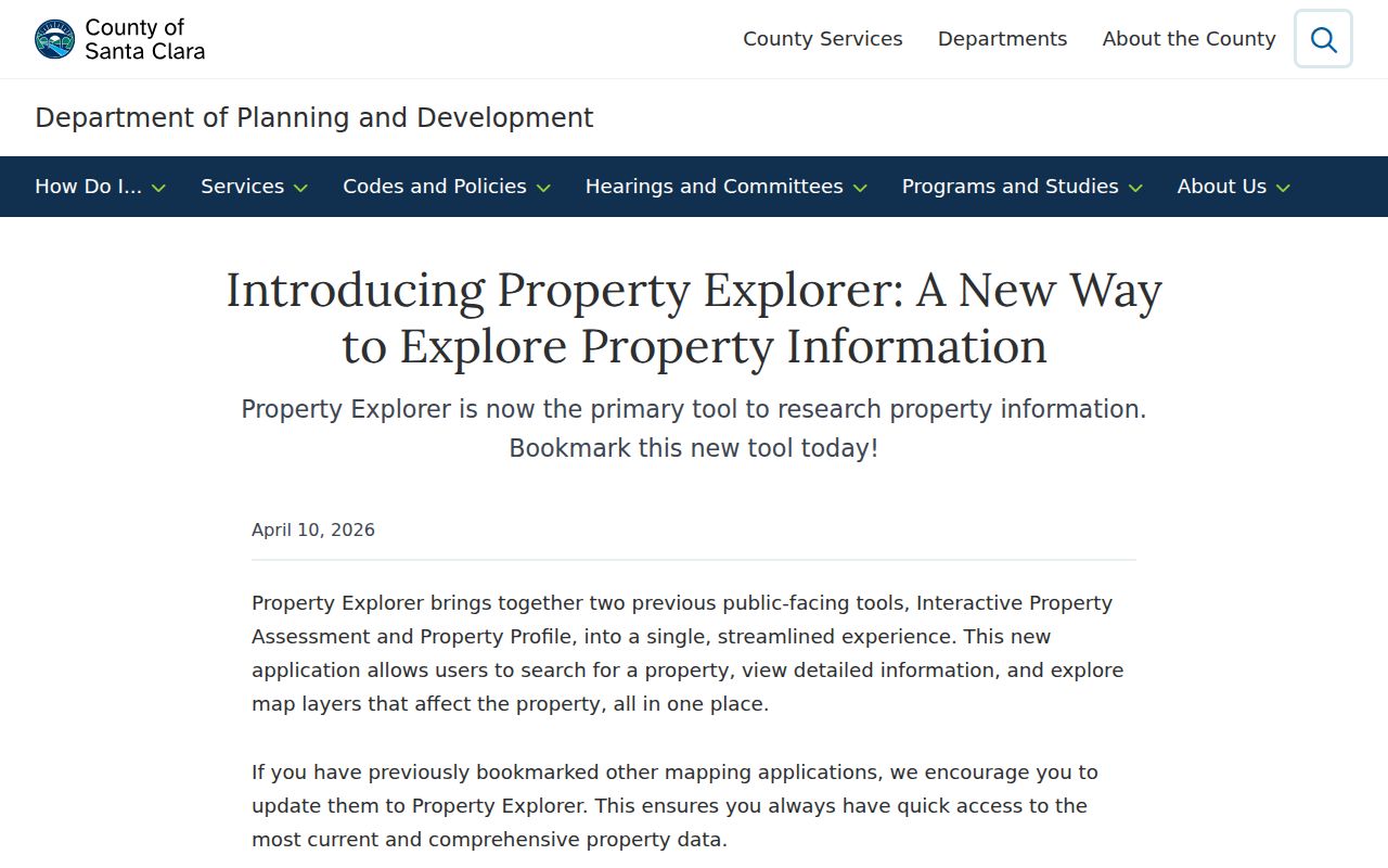
Use the map image as a parcel-navigation aid, then verify each adjoining address with the appropriate custodian.
The image shows the map-first method: select land, then decide which record keeper can answer the next question.
Mountain View Neighbor Parcels
Once an adjoining parcel is identified, search its situs address in the Assessor. Save the APN, transfer reference, values, exemptions, and tax-rate jurisdictions. The public Internet result does not display assessee names because Santa Clara omits those names from its online assessment system. A homeowner exemption can support an owner-occupancy inference, but it does not name every resident.
For legal ownership, take the parcel reference or a known party to the Clerk-Recorder. The public web grantor-grantee index ended in 2018. Workstations search 1981 to the present by name, instrument number, or book and page; Digital Reel covers 1850 through 1980. The Recorder cannot search a street, address, or APN, and staff do not perform the full chain for a visitor.
The process is therefore address to APN, APN to map, map to adjoining parcel, and parcel to party search. Each step must retain the source’s limit. Nearby land does not equal a current household.
Mountain View Neighbor Block Flow
A simple process flow keeps a neighbor lookup from jumping over missing evidence.
- Subject address: confirm the situs and exact mailing ZIP with USPS if needed.
- Subject parcel: use the Assessor to save the APN and transfer reference.
- Map view: select the parcel in Property Explorer, then pan to each adjoining polygon.
- Neighbor parcels: query each address separately in the Assessor and record the parcel key.
- Legal trail: use the Recorder only when a named party or document reference is available.
- Community layer: compare the location with public neighborhood groups, planning areas, or CERT geography.
The flow ends with several parcel records, not a list of people. If the question shifts to one named person, use a separate resident lookup with a name and a second anchor.
Mountain View Neighbor Voter Privacy
California My Voter Status cannot browse a Mountain View block. It is an identity-gated self-service lookup, not a public surname or street roll. Elections Code section 2194 allows specified political, governmental, scholarly, journalistic, and election uses, while keeping registration information confidential generally. An approved file may contain address, status, party preference, district assignments, and participation history, depending on the purpose and extract.
Driver-license or California ID numbers, the last four Social Security digits, unique identifiers, and signatures are not released under this provision. Commercial use is not permitted. A move or inactive status can also make approved voter evidence lag behind a current address.
Use voter information only through the permitted channel, and do not infer that a parcel map can be supplemented by a public block voter list. The privacy boundary is part of the Mountain View neighbors answer.
The Safe at Home information explains the protected-address route shown below.
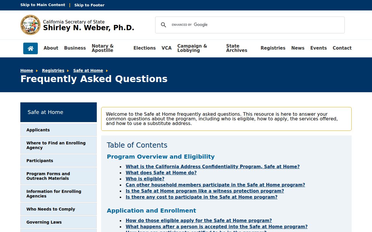
Safe at Home is another reminder that a protected address should not be reconstructed from nearby public clues. Eligible participants use a substitute address and confidential mail-forwarding.
Mountain View Neighbor Groups
The City’s Neighborhood Grant page publishes an official list and map of active neighborhood groups. The 2025-26 inventory includes Blossom Valley, Cooper Park, Cuesta Park, Dutch Haven, Gemello, Hedgerow, Monta Loma, Moorpark Mobile Homes, North Whisman, Old Mountain View, Rex Manor, Santiago Villa, Shoreline West, Slater, Springer Meadows, Spanish Speaking Ambassadors, Sunset Estates Mobilehome Owners, Wagon Wheel, and others. It is a community geography source, not a member directory.
The City lists neighborhoodgrants@mountainview.gov and 650-903-6301 for the program. Grant tiers describe covered household counts, from $1,333 for groups under 500 households to $3,333 above 1,501. Those numbers describe grant eligibility, not named neighbors or a count of current occupants.
Old Mountain View
Public City inventory and map
Neighborhood Grants
Member names not published
North Whisman
Public City inventory and map
Neighborhood Grants
Member names not published
Monta Loma
Public City inventory and map
Neighborhood Grants
Member names not published
The official neighborhood-group page is the right source for an organization’s public boundary and contact route. It should not be used to infer who lives in a particular home.
Mountain View Neighbor Maps
Mountain View uses several maps at once. General Plan areas include San Antonio; Moffett/Whisman; Central Neighborhoods/Downtown; Monta Loma/Farley/Rock; Miramonte/Springer; Grant/Sylvan Park; North Bayshore; and El Camino Real. CERT geography includes Ada Park, Appletree Area, Cooper, Cuesta Park, Gemello Park, Greater San Antonio, Monta Loma, Mountain View Gardens, North Whisman, Old Mountain View, Rex Manor, Rengstorff Shoreline, Slater, Saint Francis Acres, South Mountain View, Sylvan Park, Varsity Park, and Wagon Wheel.
These planning and preparedness maps are not associations, ZIP polygons, or lists of household members. ZIP 94035 describes Moffett Field federal-campus geography; 94039 and 94042 have post-office evidence; 94040, 94041, and 94043 have overlapping service roles. A block-level search must use the map designed for the question.
The same physical address can therefore sit in a City planning area, a ZIP service area, a grant group, and a CERT geography at once. None of those labels identifies every neighbor.
Mountain View Neighbor Community Contacts
Public community information can add context without exposing private rosters. Council Neighborhoods Committee meetings occur three to four times each year and accept community comments. CERT teams may begin at a single block or building. Neighborhood grant groups show organized activity. Congregation, utility, delivery, household, and private association member information remains private unless the organization chooses to publish a contact.
A useful neighbor question is often “which organization covers this area?” rather than “who belongs to the nearby group?” The first can be answered from the City’s public map. The second requires consent or a lawful direct contact.
For a police incident or property-loss record, the City identifies the Police Records Unit at 1000 Villa Street, 650-903-6344, with weekday and Saturday hours. Requests can use the City’s NextRequest portal; release depends on the record and the requester’s role.
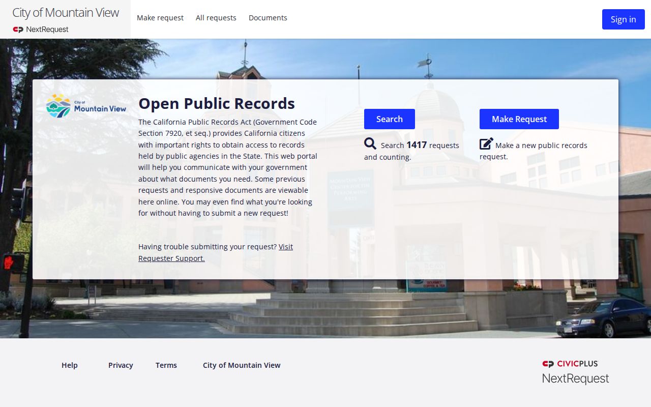
This is a public contact route for a specific incident, not a way to assemble a list of nearby households.
Keep the community layer beside the parcel layer. An organization can cover a group of homes without controlling ownership data, and a parcel owner can live elsewhere.
Businesses Are Not Mountain View Neighbors
A block may contain licensed premises, a business entity, a secured financing notice, or a professional service address. These records can explain activity around a parcel, but they do not prove that a business owner or agent lives nearby. California DCA, bizfile Online, the City Active Businesses listing, UCC records, and ABC license records each have a narrower purpose.
A UCC filing is a financing notice. An ABC license identifies alcohol-license premises or licensee scope. A professional license identifies a licensee and status. A City business license is tied to covered business activity. Use the record to understand the block’s public activity, then keep the neighbor question tied to land, address, or a dated occupant source.
The California UCC search provides the business-record example below.
The UCC image demonstrates a business or financing search, not a people roster.
The California ABC license lookup supplies the premises example below.
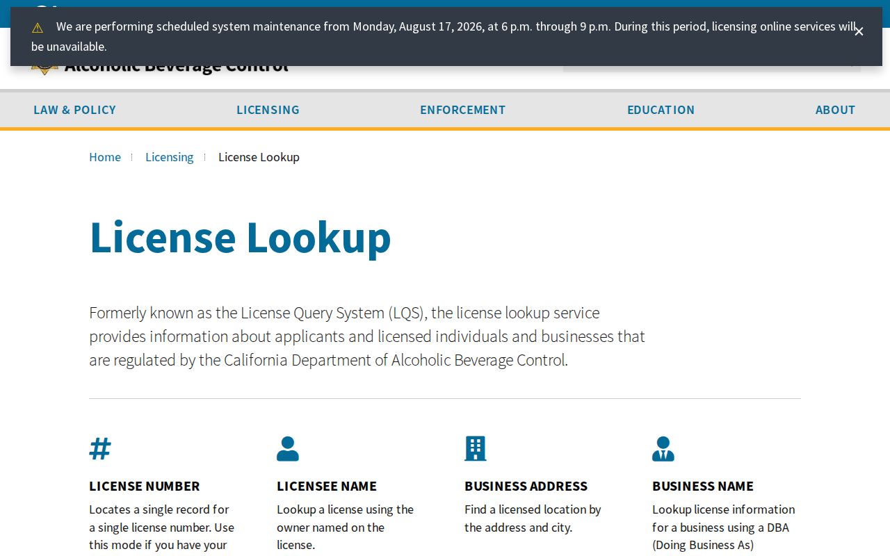
An alcohol-license result supplies premises context and should not be read as residence evidence.
Mountain View Neighbor Tools Compared
Commercial people-search services may combine public records, purchased data, and old profiles. They can merge same-name people, lag corrections, charge for stale material, or hide the source behind a summary. Official custodians are slower but expose the record type, date, access rule, and correction path. For block research, the comparison matters because neither category automatically supplies a complete occupant list.
| County or City source | Named custodian, defined record, local access rule, source-specific correction route. |
|---|---|
| Commercial category | Convenient lead that may combine sources; accuracy, date, and provenance require independent confirmation. |
| Best practice | Use a parcel, date, and second official anchor before relying on a neighbor-related fact. |
When a record suggests fraud or deception, use the official reporting route rather than escalating contact with a neighbor. The Federal Trade Commission and California Attorney General provide complaint channels for commercial deception and consumer issues.
The FTC image connects public-record caution to a reporting channel.
The California Attorney General consumer complaint route is the source represented by the next image. Use it for a documented business or consumer issue rather than confronting a person inferred from a block search.
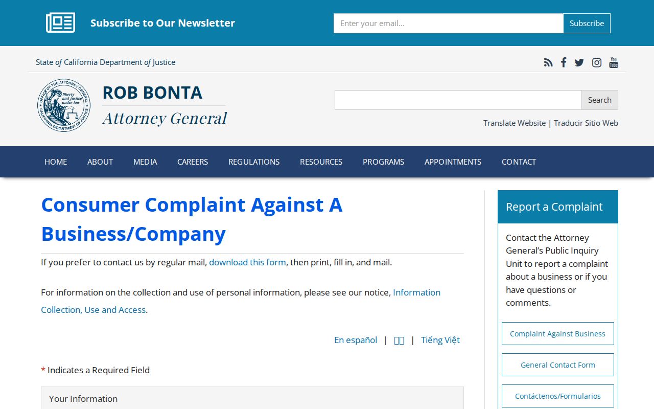
A complaint route is safer than treating an uncertain commercial profile as a confirmed neighbor.
The federal IdentityTheft.gov route helps a person document identity theft and choose recovery steps. It is a safer response to suspected misuse than contacting a person inferred from a commercial profile.
Keep a complaint record tied to the official reporting channel and the facts you can document.
Privacy Limits on Mountain View Neighbors
There is no complete public block roster. Renters, household members, utilities, delivery data, DMV records, protected voters, and private association membership remain outside an ordinary parcel search. Safe at Home keeps eligible participants’ residence address and voting precinct out of ordinary disclosure. A public absence can reflect a rule, not a missing person.
California privacy rights can help a person limit covered business or data-broker processing, but they do not erase a lawfully recorded deed. The 2026 statewide DROP platform gives consumers a one-request data-broker deletion route, with recurring broker processing at least every 45 days from August 1. That process applies to covered brokers, not County land records or court files.
The California privacy notice is linked below. It describes a privacy tool, not a method for reconstructing a protected neighbor’s address.
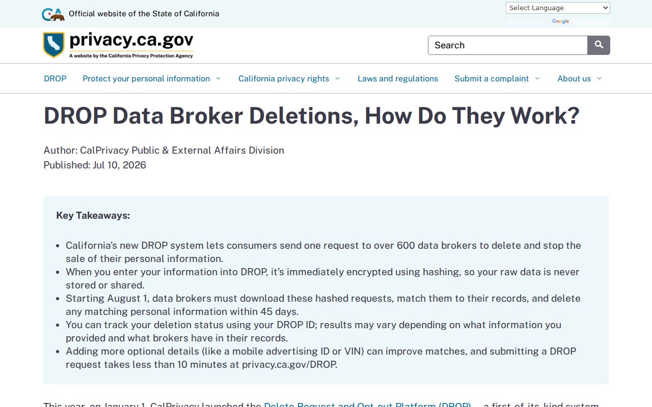
Use the official privacy channel for your own data and the official record custodian for a lawful record question.
Lawful use. A Mountain View neighbor lookup is for ordinary community, property, family-history, and civic purposes. Do not use parcel or public-record clues to stalk, harass, intimidate, or harm anyone.
Verify a Mountain View Block
Finish with a record trail that another person could audit. Note the subject address, map date, adjoining parcel, APN, source URL, and what the source actually displays. If a name appears, write whether it is a legal party, business affiliation, listed occupant, public organization contact, or historic household member.
When the question is the whole named street, use the Mountain View by-street path. When the question is one person, use a name-based source and two anchors. When the question is community connection, contact the public organization rather than seeking a private roster.
A good block search ends with a clear boundary. It shows what the map and records can support, states what remains unknown, and stops before private information is inferred.